Lidar Applications
Light detection and ranging (LIDAR) systems use reflected laser signals to determine an objects position and its characteristics. In its simplest form LIDAR uses “time of flight”, the time it takes for a laser signal to reach and return from an object, to accurately measure distances. However, LIDAR systems can also examine other properties of the reflected light, such as its frequency content or polarization, to reveal additional information about the object. As such, LIDAR systems are now being developed and employed in an ever expanding number of application areas such as autonomous driving and vehicle tracking, geological and geographical mapping, seismology, meteorology, atmospheric physics, surveillance, altimetry, forestry, navigation, and even environmental protection.
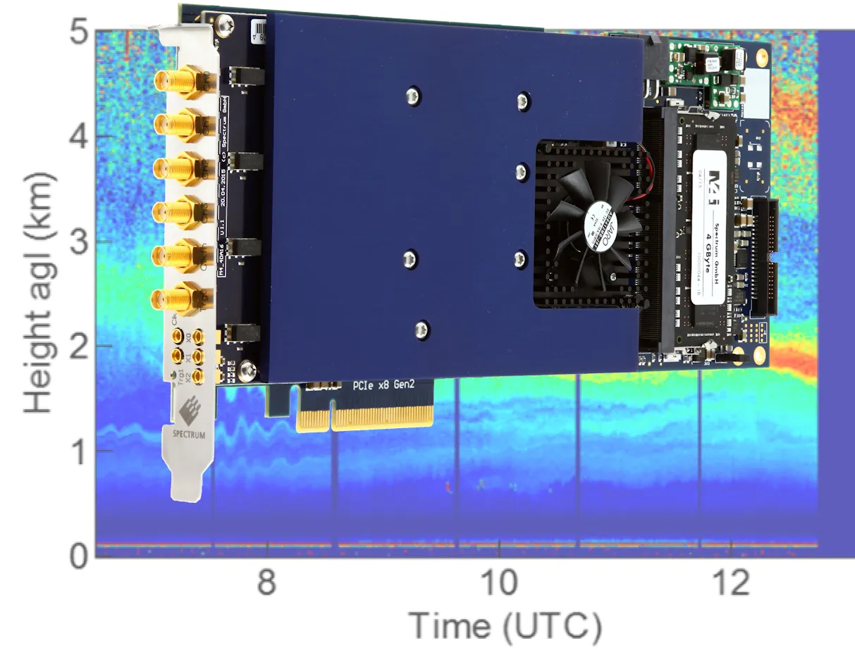
Each LIDAR system is typically designed and optimized for a specific application making the selection of appropriate signal sources, sensors and acquisition electronics critical to its overall performance. Spectrum can play a key role, with the company’s high-resolution digitizer products offering a wide choice of sampling rates that can best match almost any LIDAR sensor. The digitizers feature wide dynamic range and built-in low noise amplification so that they can detect and analyze the wide variety of signals that are normally encountered. Other features such as Multiple and Gated acquisition modes are also available to handle situations were fast trigger rates may be encountered. Furthermore, the digitizers offer the ability to stream acquired data, at very high transfer rates, directly to PC’s or GPU’s for applications that require advanced or complex signal processing..
Spectrum Product Features
- Sampling Rates from 20 MS/s to 10 GS/s
- Bandwidth up to 1.5 GHz
- Very low noise with excellent SNR and SFDR
- Segmented Memory with FIFO Readout
- Ultrafast signal averaging
- SCAPP support for direct data transfer to GPU’s
Matching Card Families
Related Documents

LIDAR - Light Detection and Ranging
The development of laser technology over 50 years ago led to the creation of light detection and ranging (LIDAR) systems that delivered a breakthrough in the way distances are calculated. The principles of LIDAR are much the same as those used by radar.

Case Study: DIAL - Differential Absorption LIDAR
Industrialization in the modern world has become the primary cause of environmental atmospheric pollution. As such, the study of industrial pollution, and its various components, has become a major area of importance. For example, in China the Ministry of Environmental Protection has stipulated the monitoring of atmospheric levels for sulfur dioxide (SO2) and oxides of nitrogen (NOx), which are the common dangerous emissions found near industrial zones.

Case Study: Spectrum Instrumentation Digitizers and AWG used for Atmospheric research with LIDAR at Leibniz Institute
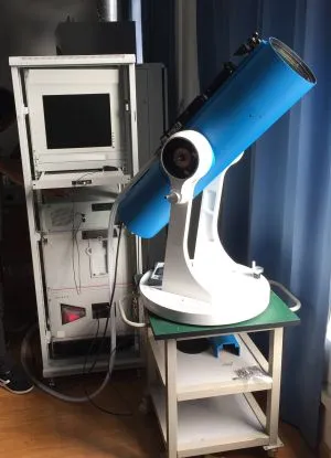
Atmospheric research uses pulsed laser beams to measure temperature and wind speed along the beams by measuring the Doppler shifted and backscattered light at 100 km height in the atmosphere. The returning light signals are very weak and can be blocked by sunlight, but The Leibniz Institute for Atmospheric Physics (IAP) has solved this problem: they developed the world's only portable instrument that can be used during the daytime and it has already provided new insights into Antarctic atmospheric conditions. This new generation of compact and reliable systems uses a novel, diode-pumped laser and, at its heart, are a Spectrum Instrumentation Arbitrary Waveform Generator (AWG) and two Digitizers that provide the extremely high speed, sensitivity and real-time capability required.

Case Study: Revolutionary 3D wind turbulence simulation with real world data from LIDAR system
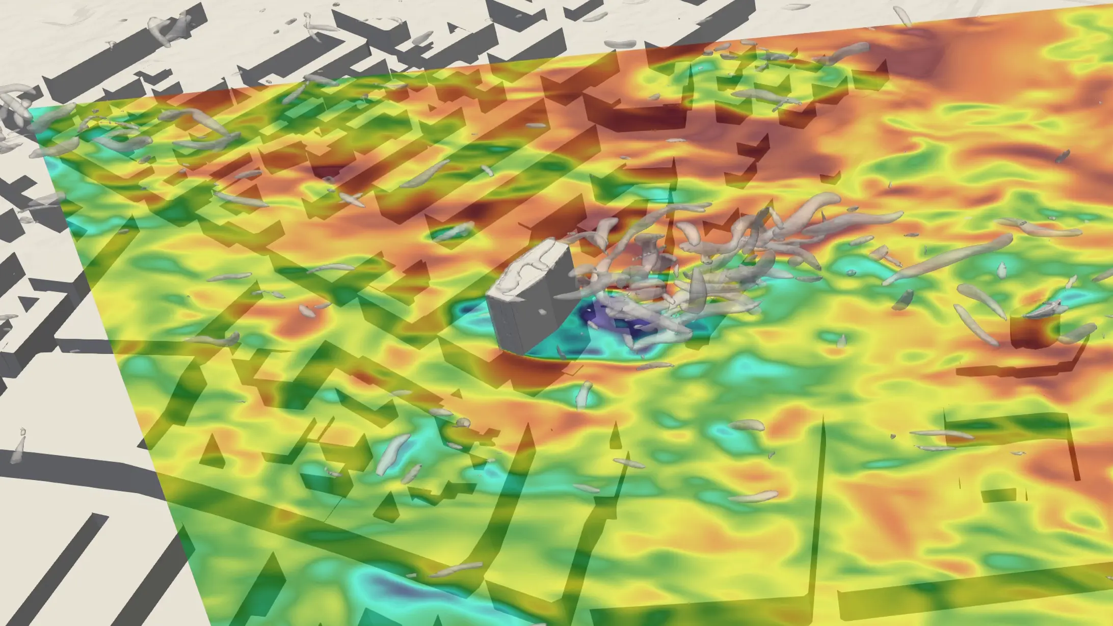
A Danish company, Vind-Vind, is developing a new turbulence model to capture the effects of wind on a building in natural conditions. This modelling uses real world data to enhance its accuracy, gathered with a LIDAR system using 10 ns pulses. Particles in the air reflect the laser, the changes in the returned light due to the Doppler effect are analysed using the latest flagship product of Spectrum Instrumentation, the ultrafast M5i.3321-x16 digitizer card.
Research Papers
FMCW Lidar
At the State Key Laboratory of Precision Measurement Technology and Instruments, Tianjin University, China, they are using an M2p.5961-x4 125 MS/s, 16 bit Digitizer to simultaneously measure velocity and distance using a Frequency Modulated Continuous Wave (FMCW) lidar system. The system details and experimental results are discussed here:
Results and System DetailsHigh-Resolution Dual Comb Spectroscopy
At the University of Lyon, France, they have developed a bidirectional DC spectrometer (BD-DCS) that allows for the observation of the line-resolved molecular absorption spectrum in a broad spectral range. Signals from an Si-photodetector in the system are acquired using an M4i.4450-x8 500 MS/s, 14-bit Digitizer. A paper describing the BD-DCS and the high-resolution measurements made can be found here:
Research PaperCharacterizing the Aerosol Atmosphere
The Departament de F´ısica, Universitat Aut'onoma de Barcelona in Spain, have studied the aerosol atmosphere above the Observatorio del Roque de los Muchachos, by analysing data from an absolutely calibrated elastic LIDAR. Since 2017, the system has used an M4i.4450-x8 500 MS/s, 14-bit, Digitizer for signal acquisition. A paper discussing the results can be found here:
Research PaperMixing-Ratio Measurements of N20
The New Jersey Institute of Technology, in the US, has been using a quantum cascade laser open path system to study N2O path-averaged mixing ratios by detecting the light backscattered from common topographic targets. The system uses an M4i.4420-x8 250 MS/s, 16-bit Digitizer for signal acquisition and a paper, discussing the detection limits and accuracy, can be found here:
Research Paper